Sasabe, Arizona - The Drive to Arivaca

Arivaca (O'odham: Ali Wa:pk) is an unincorporated community in Pima County, Arizona.[3] It is located 11 miles (18 km) north of the Mexican border and 35 miles (56 km) northwest of the port of entry at Nogales. The European-American history of the area dates back at least to 1695, although the community was not founded until 1878.[3] Arivaca has the ZIP code 85601.[4] The 85601 ZIP Code Tabulation Area had a population of 909 at the 2000 census.[5]  Source: Wikipedia

We drove through, decided to see what Arivaca Lake looked like.  We returned to explore the town more...shown in a later post.


Sasabe, Arizona - A drive through town.

Sasabe (O'odham: Ṣaṣawk) is a small hamlet in the Altar Valley of southern Pima County, Arizona, United States, immediately north of the international border with Mexico. It hosts a minor border crossing, an adobe sales outlet, a public school, a guest ranch, a general store with fuel pumps, a weekend bar, and a post office serving the ZIP Code of 85633. In 2010, the population of the 85633 ZCTA, including Sasabe, was 54.

Source: Wikipedia

The road out of the Ranch.

Turn right and drive in to Sasabe.

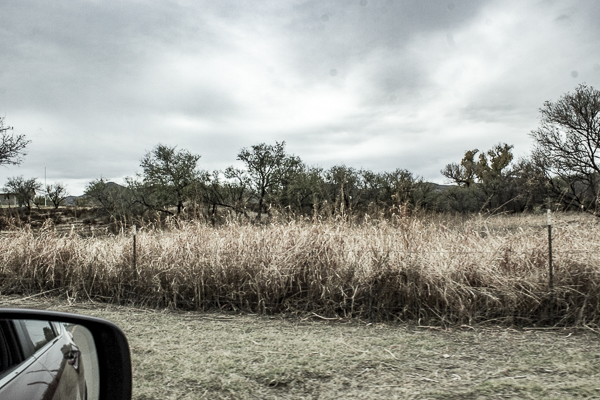
 A few photos from the passenger seat.

Warning sign about bringing weapons in to Mexico.
 The "minor" border crossing.  This was originally used as a way to make the seasonal cattle moves.
 The view entering Arizona.
 A free public toilet.
 The vintage public phone.

The ever popular Sasabe Store.


 I am thinking about moving here and setting up an AirBNB.  What do you think?  A fixer upper.

Sasabe, Arizona - Rancho De La Osa

Rancho De La Osa - Arizona's Most Historic Ranch

Source: Photos - me
Quote: the website http://ranchodelaosa.com/about-the-ranch/

I am staying here for the weekend with a Meetup group https://www.meetup.com/Arizona-Night-Photographers.  There is a wide variety of photo ops here and in the area.

The first sign that you are at a ranch!

The entrance.

A traditional fence.
 Yard decorations!

 Horses to ride.
 Rough trail riding backs.

The main office building, dining area, and where to find coffee in the early morning.
 Food for the winter.
 The meal bell (center of the photo) signals us when the food is ready.


 I can see the border wall from my door.
 This is my "front porch" for my stay.


Périgueux, France - Saint Front Cathedral Exterior

The Saint Front Cathedral was built after 1120 and restored in the 19th century.  The cathedral is named after Saint Front, the first bishop of Périgueux.  The cathedral is part of the World Heritage Sites of the Routes of Santiago de Compostela in France since 1998.  The cathedral was built on the model of St. Mark's Basilica in Venice. The layout is in the form of a Greek cross.  At one time the domes were all different heights, but have been redesigned and are now all the same height.


Périgueux, France - Place de la Clautre Market

Place de la Clautre is a former site of executions, but today (on Wednesdays and Saturdays) it is known for the large market.  There was a wide variety of food and we were there early enough (or late enough?)  to have missed From the market, you can see the Cathedral Saint-Front.


Why Are There So Many British People in the Dordogne?

  Why Are There So Many British People in the Dordogne? What you have noticed around Château Marouatte is not incidental. The Dordogne has ...